
On this page:
Understanding Australia’s underwater frontier
Australia is surrounded by one of the largest and most diverse marine jurisdictions on the planet. In fact, our maritime estate is the third largest globally. Mapping the seafloor within this marine estate is essential to Australia’s maritime sovereignty for managing biodiversity, improving safety navigation, strengthening natural hazard assessments and guiding offshore resource development.
RV Investigator and advanced mapping technology
Since entering service in 2014, CSIRO research vessel (RV) Investigator has played a pivotal role in seabed mapping, which has accelerated in recent years, with NCRIS funding supporting full-year operation of the vessel. This role has included the discovery of an unrecorded mesophotic coral reef atop a 3,000 metre seamount in the Coral Sea Marine Park. The discovery demonstrates how detailed mapping can reveal important marine habitats and biodiversity hotspots that were previously unknown. More broadly, the growing seabed dataset is providing critical information for marine research, environmental management and future exploration of Australia’s vast ocean estate.
The impact of research infrastructure
Equipped with advanced multibeam echosounders and acoustic mapping systems, RV Investigator continuously collects high-resolution bathymetric data on voyages around Australia, the surrounding region and Antarctic waters.
This data is provided to AusSeabed, Australia’s national collaborative seabed mapping initiative led by Geoscience Australia and contributes to Seabed 2030. Currently, 38.8 per cent of Australia’s maritime territory is mapped, but the ambitious global program is to map the entire seabed by 2030. Together, these efforts are building the detailed knowledge needed to better understand and manage Australia’s marine environment.
The MNF also works with the Australian Hydrographic Office and Department of Climate Change, Energy, the Environment and Water's Underwater Cultural Heritage program to map items of significance across both programs.
Why it matters to Australians
Comprehensive seabed mapping is a foundational capability that enables economic growth and environmental stewardship by supporting industries such as shipping, fisheries, subsea communications, defence, tourism, and coastal infrastructure planning. As more of Australia’s seafloor is mapped, researchers can continue to make discoveries that strengthen our understanding of the oceans and help ensure they remain healthy and productive for future generations.
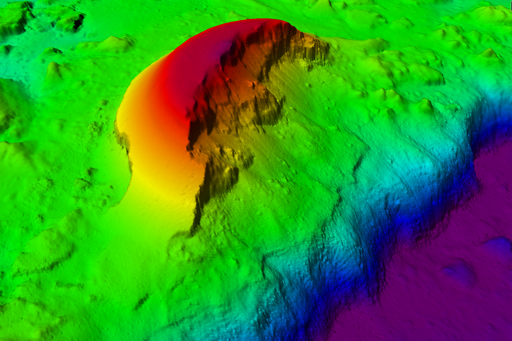
Seabed mapping in the Coral Sea by RV Investigator revealed a potential shipping hazard atop a seamount along with an unrecorded coral reef.
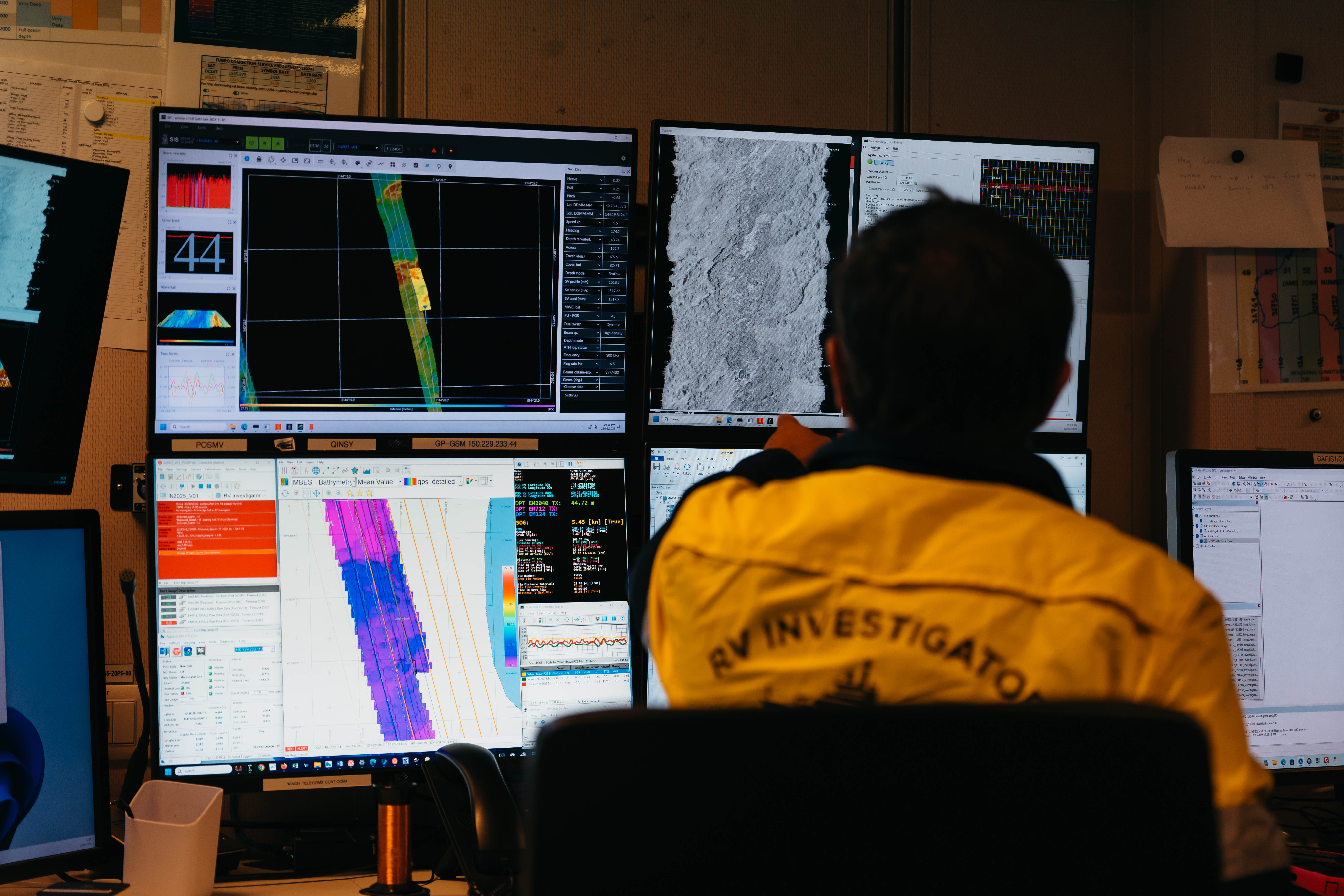
RV Investigator possess a suite of acoustic mapping systems that enables seabed mapping to full ocean depth
Photo: CSIRO-Maren Preuss