On this page:
Ensuring the accuracy of Australia's carbon models
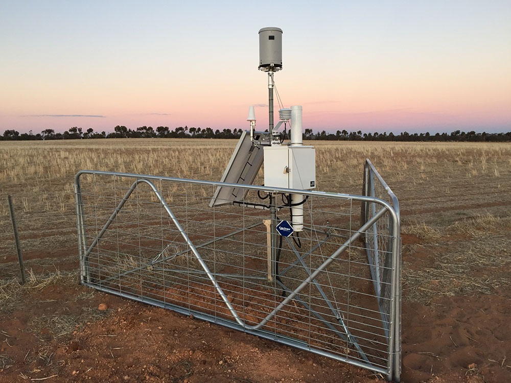
Terrestrial Ecosystem Research Network (TERN) data is being used by the Department of Agriculture, Water and the Environment to standardise and check carbon models and greenhouse gas accounting. TERN's data is needed to ensure the accuracy of Australia’s carbon model predictions and is helping meet national reporting requirements under international climate and sustainability frameworks. TERN is also helping the department to create standard ways of collecting environment data.
More information available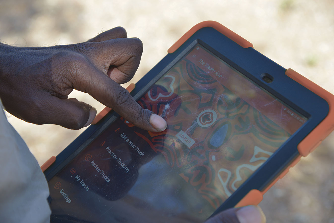
Atlas of Living Australia tracks Tracks app
Atlas Australia has developed and app that provides biodiversity data and helps Indigenous rangers track animals in both English and Walpiri. The first use of the “Tracks App” on the endangered Greater Bilby project resulted in the National Bilby Recovery Plan – one of the first national threatened species plans developed with significant input from Aboriginal people.
More information available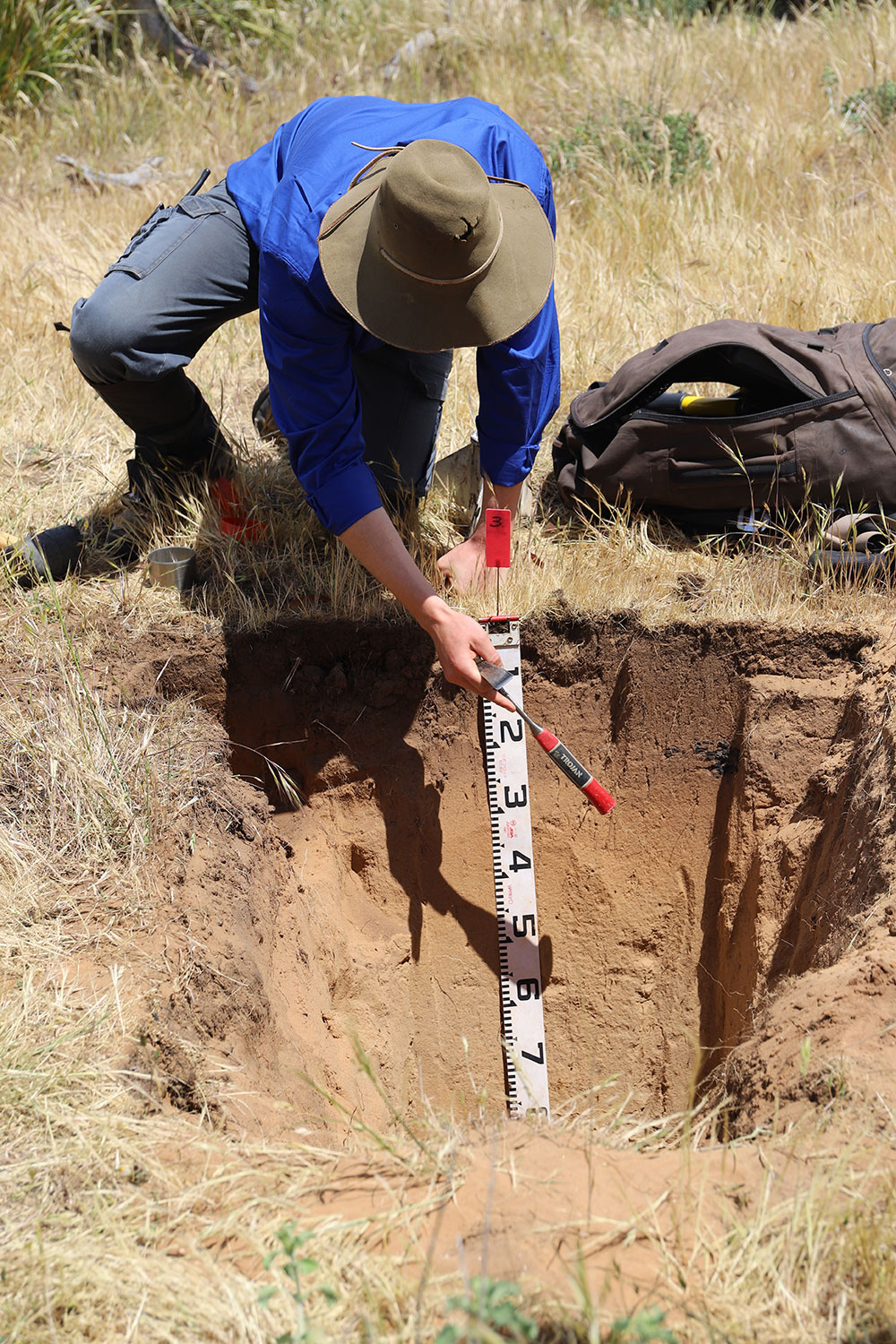
New soil erosion research improves bushfire recovery
The Terrestrial Ecosystem Research delivered remote sensing data and digital soil maps to help monitor and predict hillslope erosion across NSW. This has significantly improved land management practices and bush-fire recovery activities Australia Wide.
More information available
Global Probabilistic Tsunami Hazard Assessment model
National Computing Infrastructure supported a Global Probabilistic Tsunami Hazard Assessment Model from Geoscience Australia. This is a computer model that simulates thousands of different earthquake - generated tsunami scenarios. It covers most of the world's coastline, giving vital information about which countries and regions are at risk from tsunamis.
More information available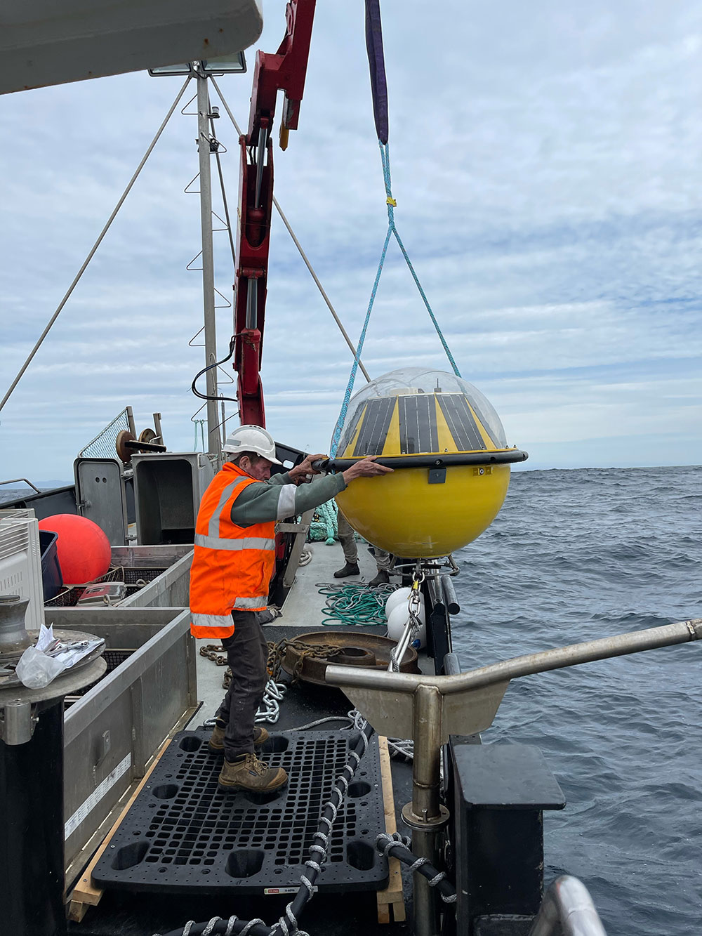
IMOS wave data important for marine industries and the Bureau of Meteorology
The Integrated Marine Observing System invented wave buoys to measure wave direction, period and height and sea surface temperature. Two Wave buoys were recently deployed in Tasmania and the Northern Territory, providing important data for marine industries and for the general public. The data is also being used by the Bureau of Meteorology to ensure accurate weather forecasts and will be made publicly accessible.
More information availableRecognition as world's best practice
The ALA has developed the Living Atlases data infrastructure to process and manage biodiversity data. The Living Atlases is a completely open-source and has been adapted by many countries internationally to build their own, such as the Atlas of Living Scotland (UK), the Atlas of Living France (France) and the Atlas of Living Spain (Spain), etc. totalling 23 Atlases globally as of March 2020.
More information available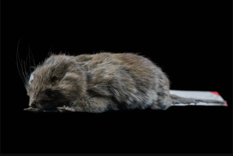
This adorable mouse was considered extinct for over 100 years — until we found it hiding in plain sight
The Gould’s mouse once thought to be extinct has been found alive. Bioplatforms Australia supported genetic infrastructure that researchers used to figure out the mouse still existed. The last verified time it was seen alive was in 1857 in Victoria, NSW. It turns out it was alive all long.
Djoongari type specimen held in the Museum, also known as Gould's field mouse (Pseudomys gouldii). Image by C.Ching courtesy of the Trustees of the Natural History Museum, London. Re-used under the terms of a Creative Commons Attribution Licence (CC-BY 4.0).
More information available