
On this page:
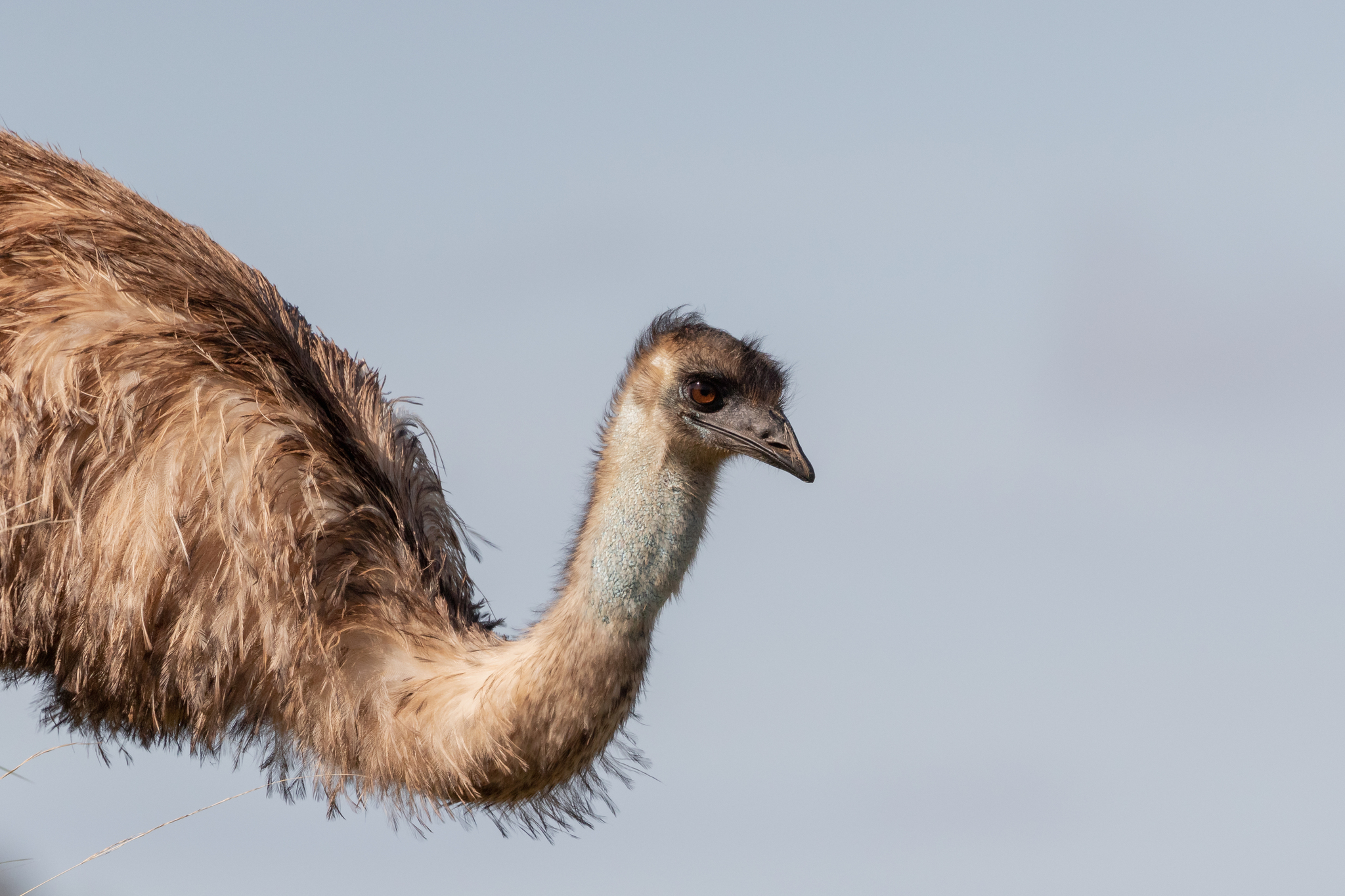
Connecting Indigenous Ecological Knowledge and Western science
Indigenous ecological knowledge is based on thousands of years of studying native plants, animals and the environment. This knowledge has an important role in environmental protection and caring for Country. The Atlas of Living Australia’s Indigenous Ecological Knowledge Program supports collaboration with Aboriginal and Torres Strait Islander people, promotes Indigenous ecological knowledge and languages, and links this knowledge to Western science.
Read more about the program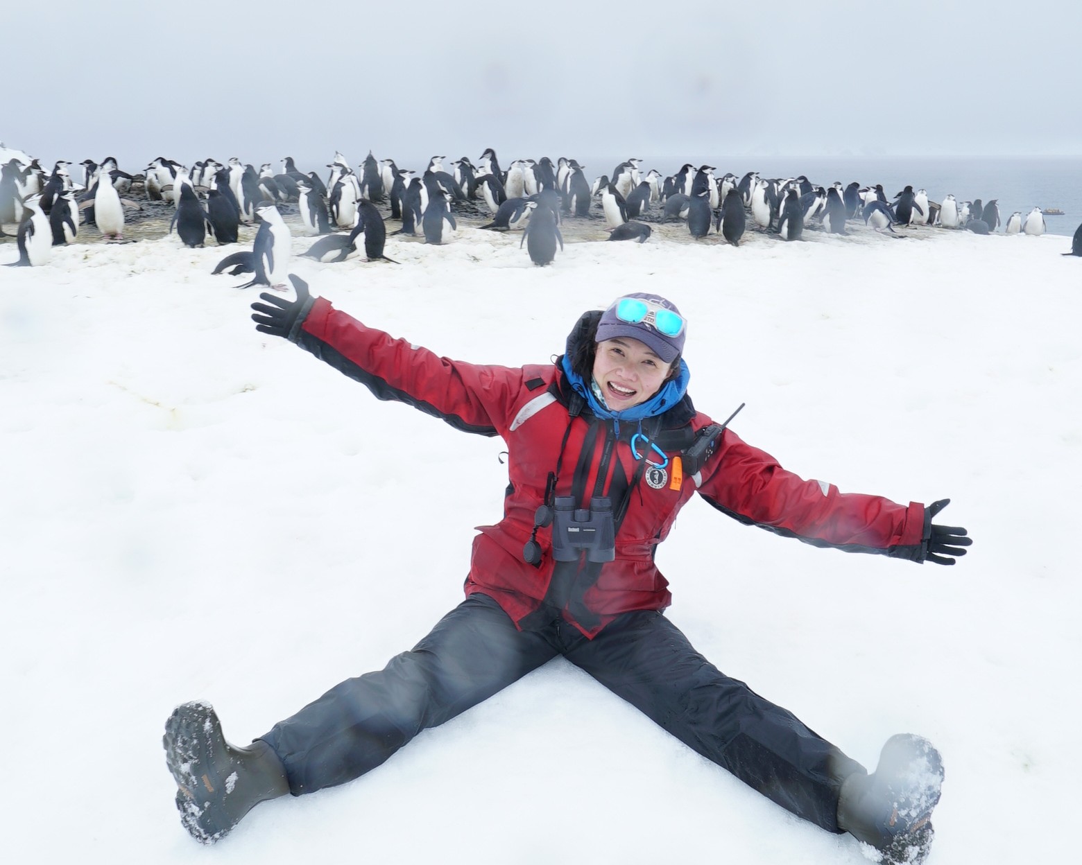
Revealing Antarctica's future
Predicting Antarctica's future isn't as simple as measuring how much ice is melting today. Scientists also need to understand how glaciers move, how warm ocean water affects them, and how these processes change over time. Dr Chen Zhao, an ARC DECRA Fellow at the University of Tasmania's Institute for Marine and Antarctic Studies, develops advanced computer models that recreate these interactions, helping scientists produce more accurate predictions of future sea-level rise.
Read more about the computer models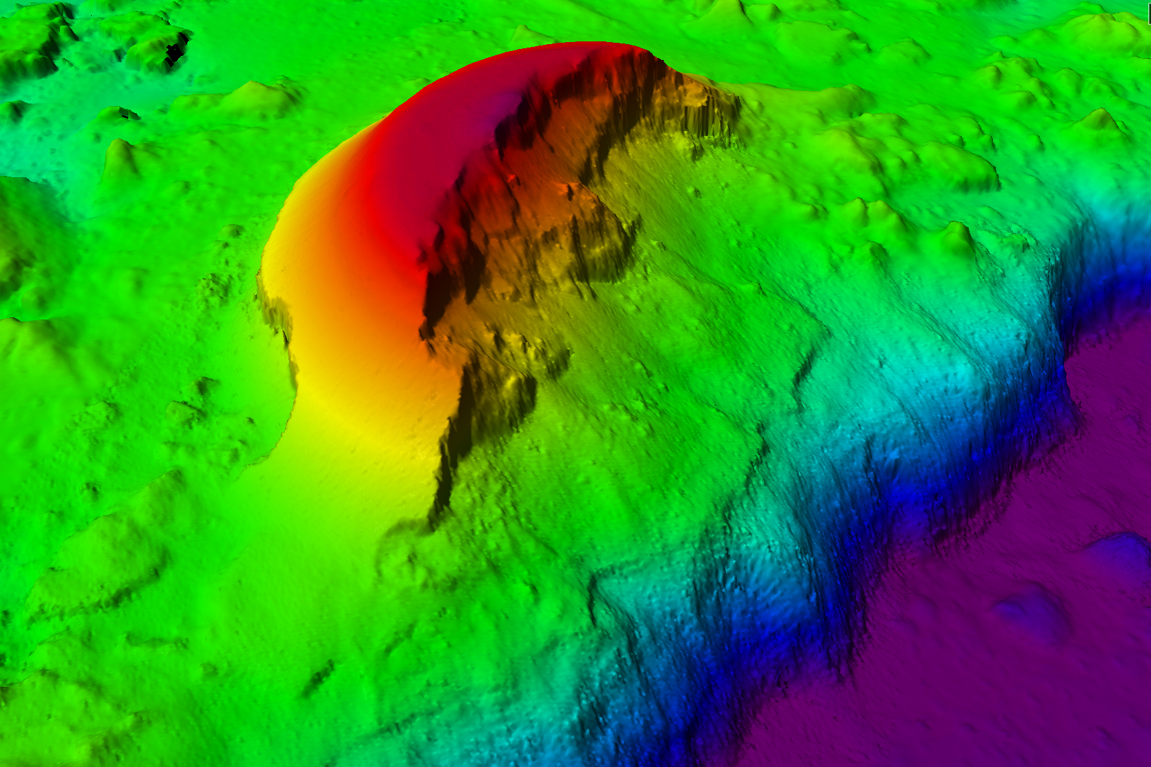
Seafloor mapping to protect and manage Australia’s vast maritime estate
Australia is surrounded by one of the largest and most diverse marine jurisdictions on the planet. In fact, our maritime estate is the third largest globally. Mapping the seafloor within this marine estate is essential to Australia’s maritime sovereignty for managing biodiversity, improving safety navigation, strengthening natural hazard assessments and guiding offshore resource development. Since entering service in 2014, CSIRO research vessel (RV) Investigator has played a pivotal role in seabed mapping, which has accelerated in recent years, with NCRIS funding supporting full-year operation of the vessel.
Read more about the RV Investigator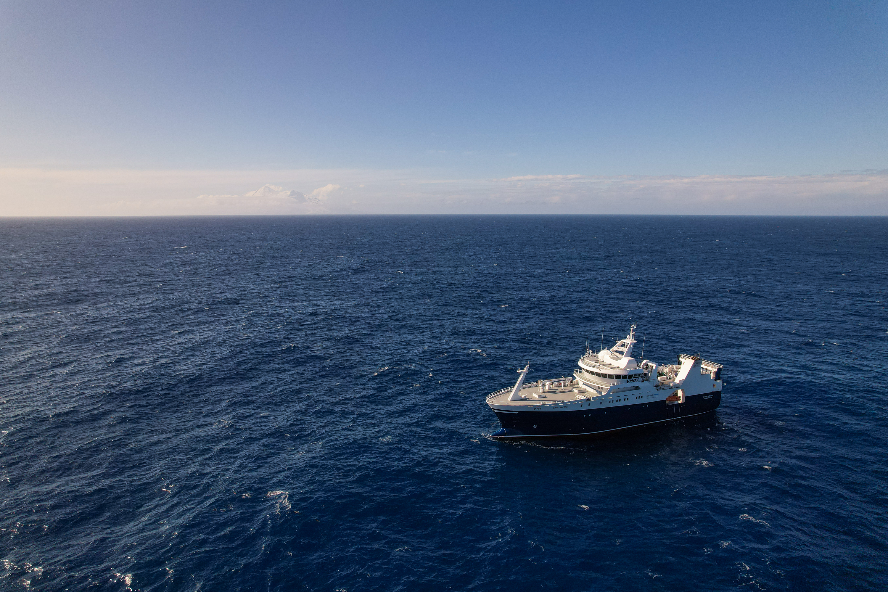
Observing the evolution of the South Australian Harmful Algal Bloom
A significant Harmful Algal Bloom (HAB) was identified in South Australian (SA) waters around the Fleurieu Peninsula in March 2025. The South Australian Research and Development Institute (SARDI) monitored and reported on the evolution of the HAB to inform industry and the public. SARDI produced information about environmental conditions specific to the HAB using IMOS Satellite Chlorophyll-a imagery and ocean circulation forecasts from the Department of Primary Industries and Regions (PIRSA) eSA-Marine system, which is underpinned by IMOS National Reference Stations, South Australian moorings and Ocean Radar.
Read more about the Harmful Algal Bloom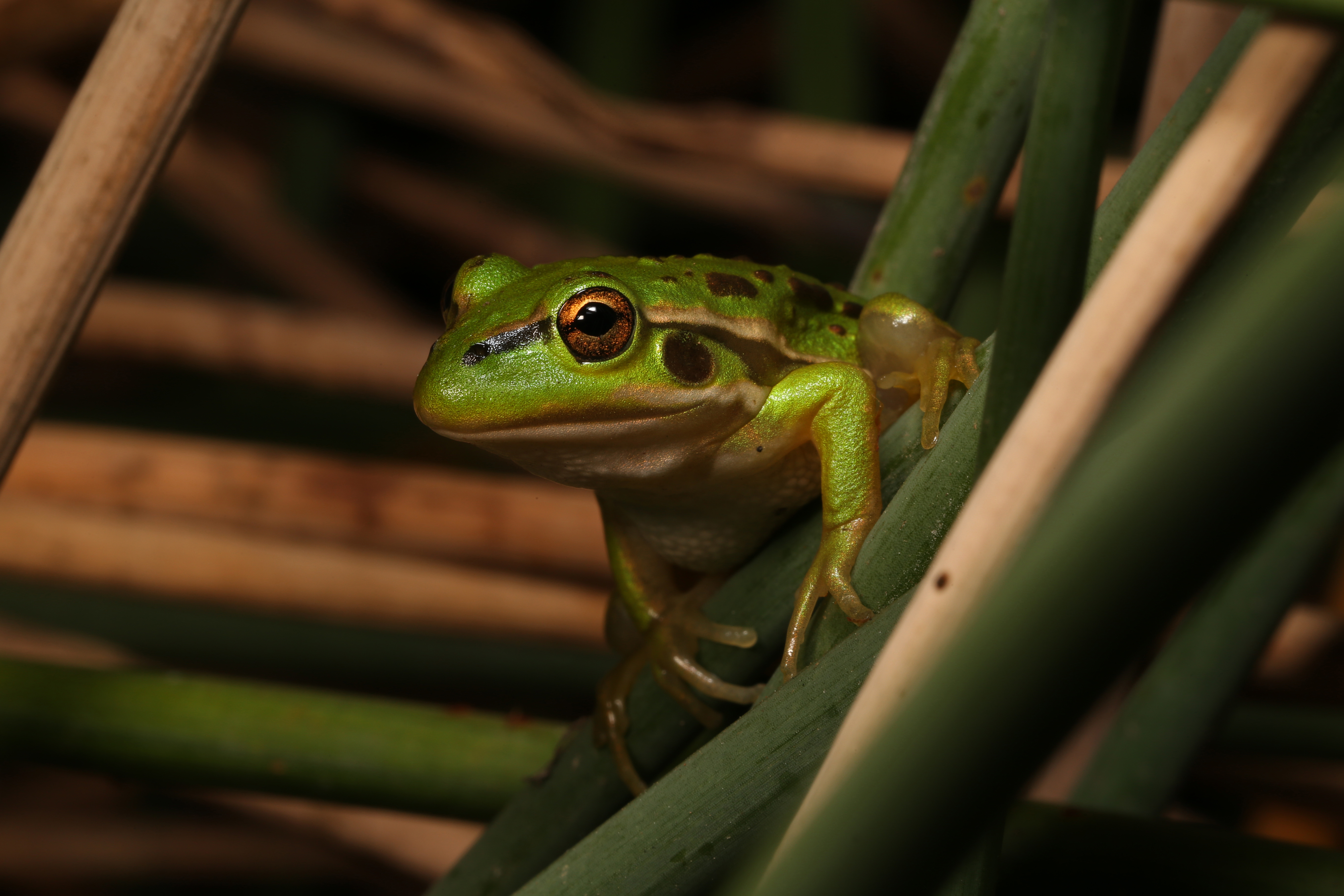
How TERN's Threatened Species Index became a National Economic Indicator
The Threatened Species Index (TSX), developed and maintained by TERN under NCRIS, distils more than 25,000 monitoring datasets covering some 400 threatened and near-threatened birds, mammals, plants, frogs and reptiles into a single, robust measure of how Australia's most vulnerable species are faring over time. Modelled on the way a stock market index tracks the pulse of an economy, the TSX gives government, conservation groups and researchers a consistent, comparable way to see whether biodiversity is improving or declining nationally, by state, or by species group.
Read more about the Threatened Species Index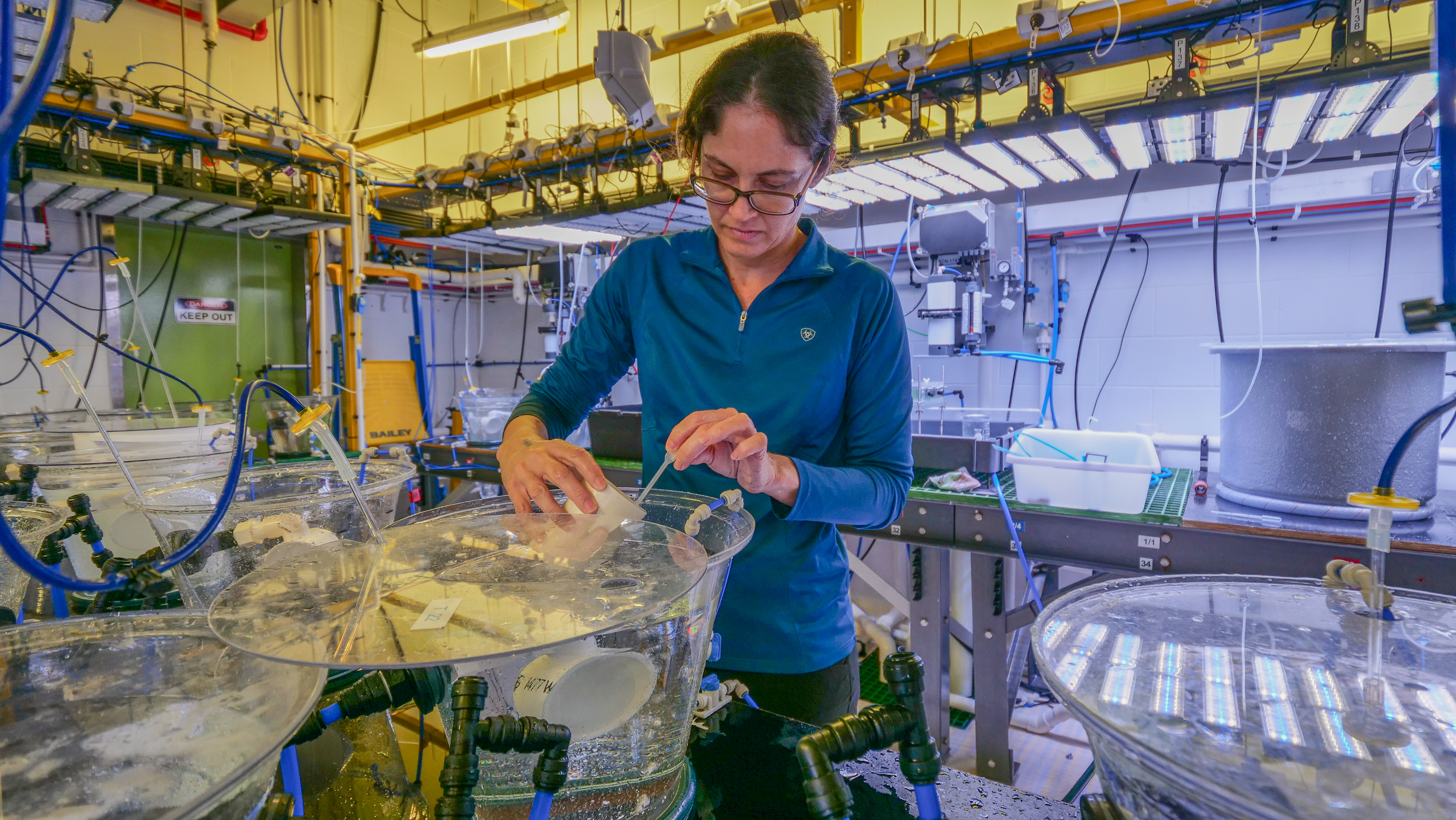
Crown-of-thorns starfish research at SeaSim
The Great Barrier Reef is increasingly affected by marine heatwaves, mass coral bleaching and severe cyclones. Crown-of-thorns starfish (COTS), a native coral predator, compound this damage. The Australian Institute of Marine Science's (AIMS) National Sea Simulator (SeaSim) provides precisely controlled seawater systems, specialist aquaria and technical expertise to study COTS throughout their life cycle, improving prediction, early detection and control of COTS.
Read more about SeaSim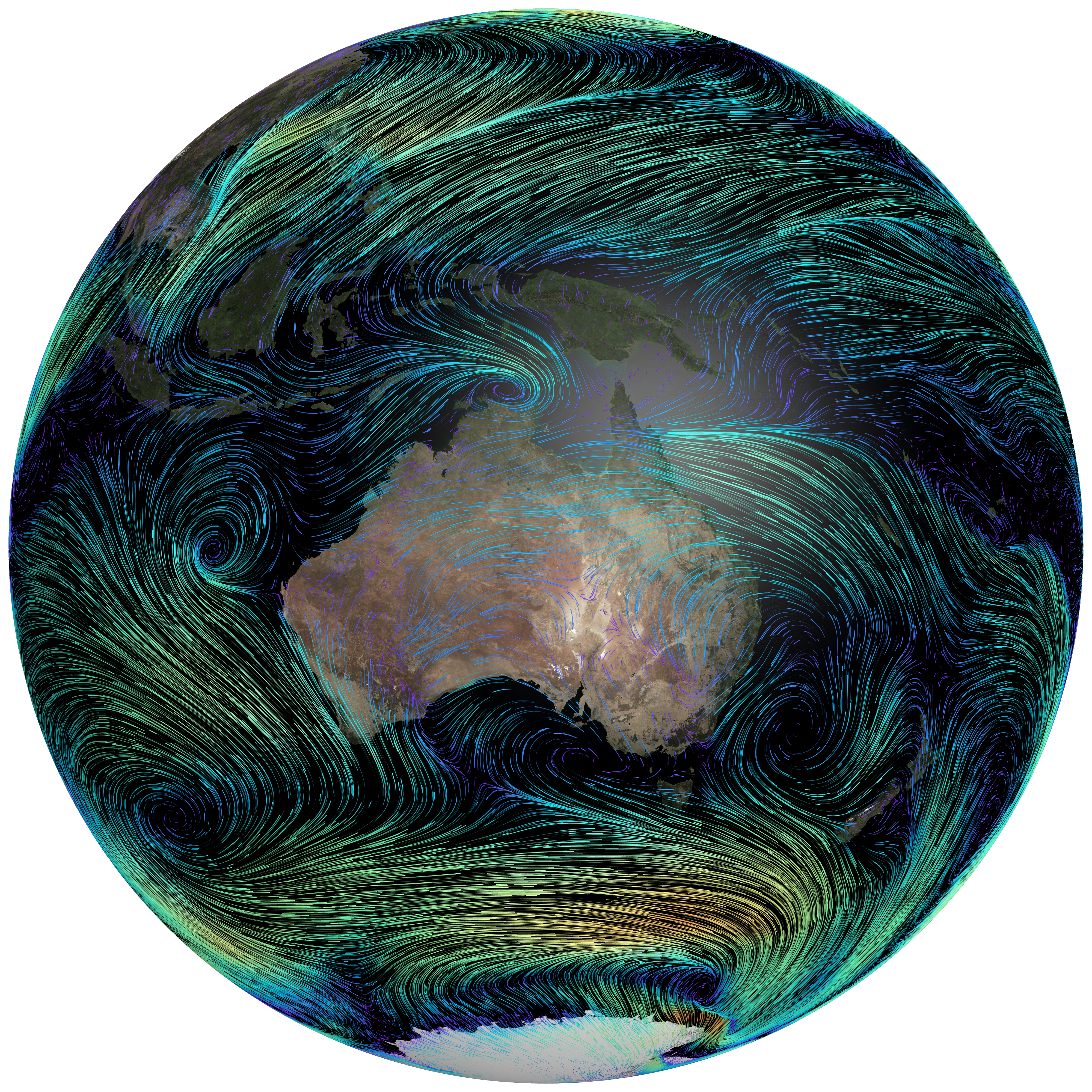
Australia's climate future: new ACCESS model goes global
Climate change will shape everything about life in Australia: from the homes we live in and the food we grow to the risks of bushfires, floods, and heatwaves. Understanding what lies ahead depends on climate models. CSIRO and Australia's Climate Simulator (ACCESS-NRI) have developed ACCESS-ESM1.6, the newest version of Australia's climate model, which simulates the atmosphere, oceans, land, sea ice and carbon cycle, including Australia’s unique vegetation.
Read more about the climate model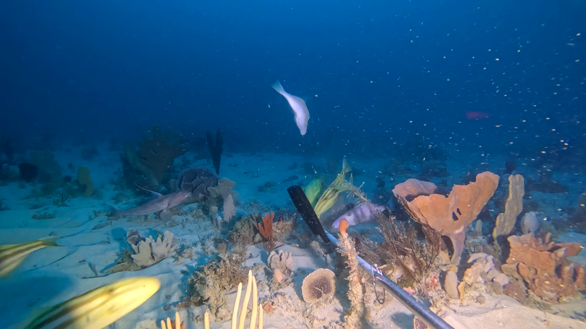
Great Australian Bight marine diversity expedition
Parks Australia and the South Australian Department for Environment and Water (DEW) recently collaborated on an expedition to investigate one of Australia's most remote and least understood marine environments. During a two-week voyage aboard the MRV Ngerin, the Great Australian Bight Marine Biodiversity Expedition 2026 documented habitats and marine biodiversity across the Great Australian Bight, providing better understanding of how species and habitats are connected across the region.
Read more about the expedition