Australia's best researchers are driving innovation through collaborative partnerships supported by the department’s National Collaborative Research Infrastructure Strategy (NCRIS).
Backed by a $4 billion investment, NCRIS provides Australian researchers with access to world-class facilities, equipment, resources, and expertise empowering them to deliver leading‑edge research and break-through technologies.
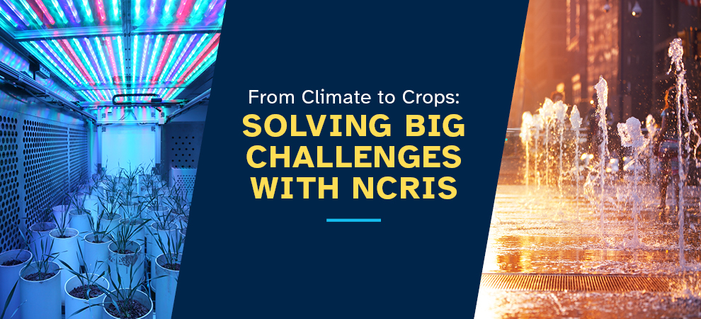
Explore some of the exciting NCRIS projects making an impact in fields like plant science and climate change.
Decoding nature’s hidden language
The Australian Plant Phenomics Network (APPN) is leading the way in plant and agricultural science.
Researchers at APPN nodes are using advanced 3D imaging tools to uncover traits invisible to the naked eye.
Its sensors can read hundreds of wavelengths from leaves, to detect changes in plant health such as water stress, pigment levels that may signal disease onset, and nutrient levels like nitrogen long before symptoms appear.
APPN has innovative technologies such as rhizo boxes (specialised containers to observe root growth), the rhizolysimeter (a facility for studying root growth and soil water dynamics) and X-ray CT scanning equipment. These tools allow research to assess soil moisture, nutrient content, soil biology and root structures up to 3 metres below the surface.
By analysing plant and root structure and function, APPN is providing access to help scientists better understand growth and yield. This knowledge supports the development of improved plant varieties, boosting food production and sustainability to meet the needs of a growing global population.
Find out more about the technologies.
New interactive tool determines how heat affects our cities
As climate changes, who is most at risk during a heatwave? How does it affect the cities we live in?
Researchers at the Australian Urban Research Infrastructure Network (AURIN) have partnered with RMIT University to develop a Heat Vulnerability Index – an interactive tool to help understand the communities most vulnerable to heat stress.
By combining satellite data (such as land surface temperature) with social data (income, age and population density), the tool helps plan cooler, more resilient cities, especially as heatwaves become more frequent and intense.
Find out more about the Heat Vulnerability Index.